Services
Rooftop Inspections
Ditch traditional methods and opt for drone-powered rooftop inspections:
- Detect Heat Loss & Insulation Deficiencies – Optimise energy efficiency.
- Identify Leaks & Water Damage – Prevent costly structural damage.
- Enhance Safety – Reduce the need for dangerous manual inspections.
- Save Time & Costs – Faster and more efficient than traditional methods.
Estate Management
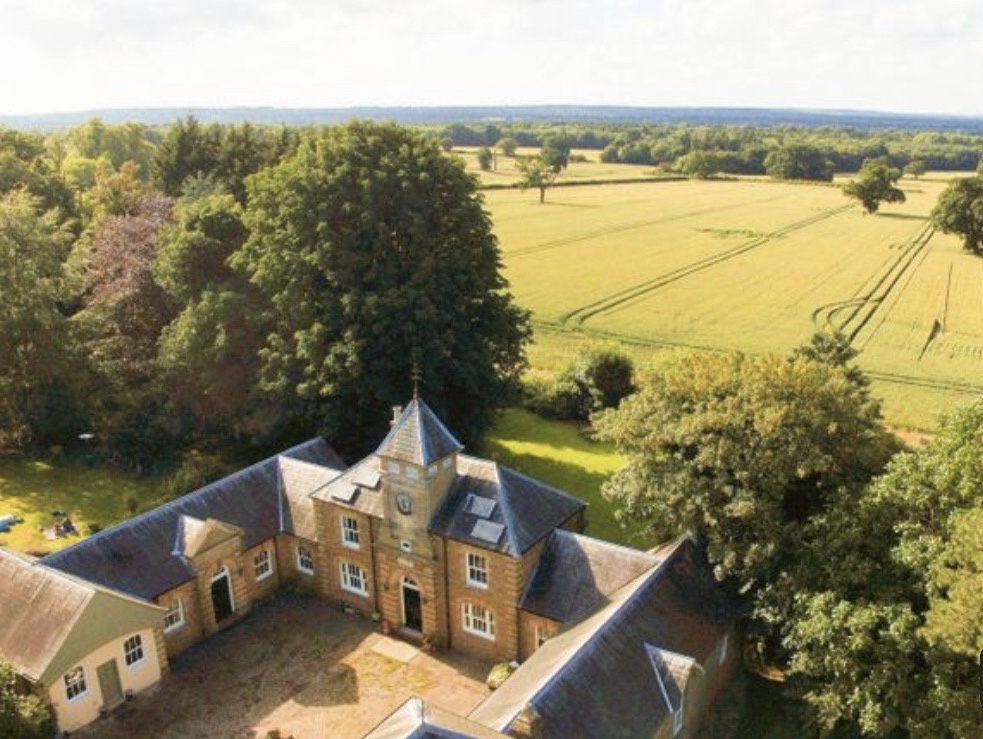
Our drone thermal surveys help estate managers maintain their assets efficiently:
- Building Inspections – Identify heat loss, damp ingress, and structural weaknesses.
- Solar Panel Maintenance – Ensure energy efficiency with proactive fault detection.
- Land & Environmental Surveys – Monitor terrain changes, drainage issues, and habitat health.
- Security Monitoring – Detect trespassers, unauthorised activities, and wildlife movements.
- Wildlife & Livestock Tracking – Non-intrusive thermal imaging for animal monitoring.
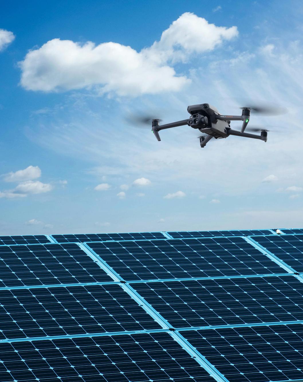
Solar Farm Inspections
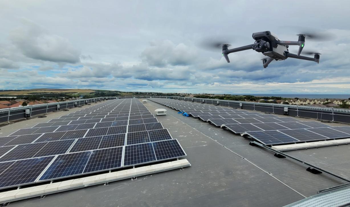
Our thermal imaging drones ensure peak performance and long-term reliability by:
- Detecting faulty and underperforming panels – before they impact energy production.
- Pinpointing electrical issues – such as loose connections and overheating junctions.
- Reducing maintenance costs – minimising unexpected failures.
- Eliminating the need for costly manual inspections with scaffolding or rope access.
Solar Panel Cleaning Services
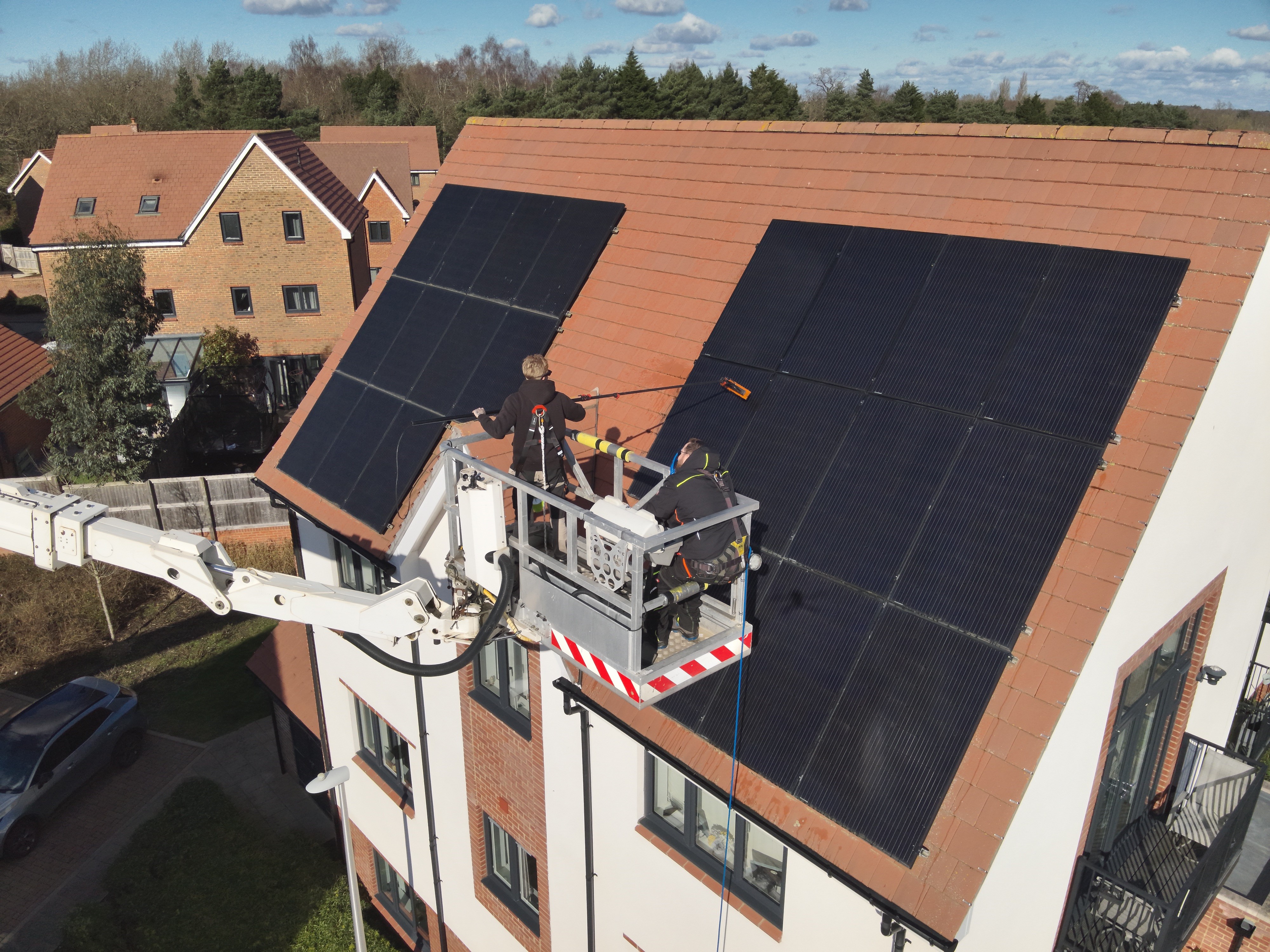
Maximise Efficiency & Extend Panel Lifespan
- Improve Energy Output – removing dirt, dust, bird droppings, and pollution build-up that reduce panel efficiency.
- Protect Your Investment – Extend the lifespan of your panels and prevent long-term damage caused by corrosive residue.
- Commercial & Domestic – We service solar farms, industrial rooftops, and residential properties with scalable cleaning solutions.
- Flexible Scheduling – One-off, seasonal, or regular maintenance plans to suit your energy goals and budget.
- Drone-Assisted Inspections (Optional) -Combine cleaning with thermal imaging to identify faulty or underperforming panels.
- Safe & Eco-Friendly – to ensure your panels are thoroughly cleaned without damage.
Click here for further information
Topographical Survey Services
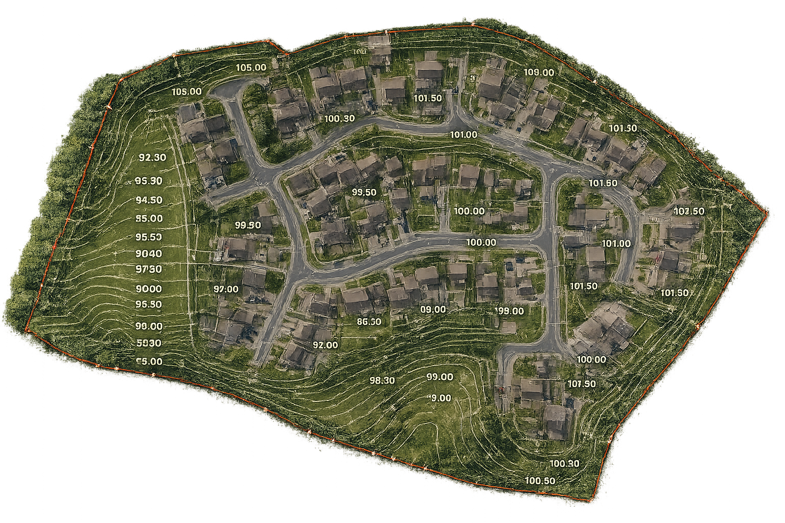
Accurate Mapping for Informed Planning
- Advanced drone and GPS surveying solutions
- Precise detail
- Rapid Turnaround
- Construction & Engineering Ready .
- Safe & Non-Intrusive
- Custom Output Formats
Power Line and Wind Farm Inspections
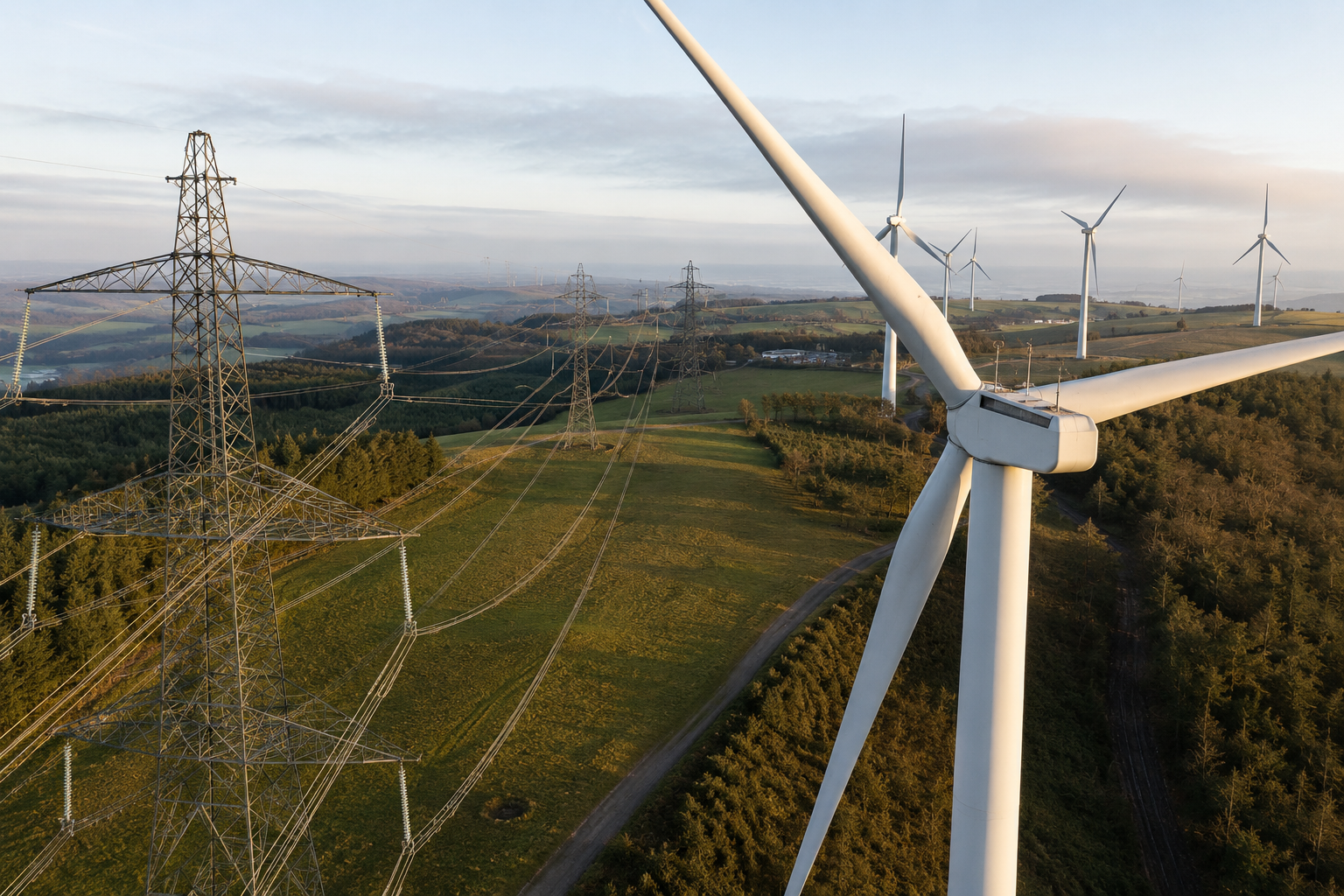
High-resolution drone inspections for power lines, pylons, substations, and wind turbines.
- Wind turbine blade surveys
- Thermal hotspot detection
- High-resolution visual reporting
- Reduced access and downtime costs
- Safe inspection of hard to reach assets
